

Earth & Climate • Terrain Analytics
GEOtiled: making high-resolution terrain data practical, scalable, and reusable across continental regions
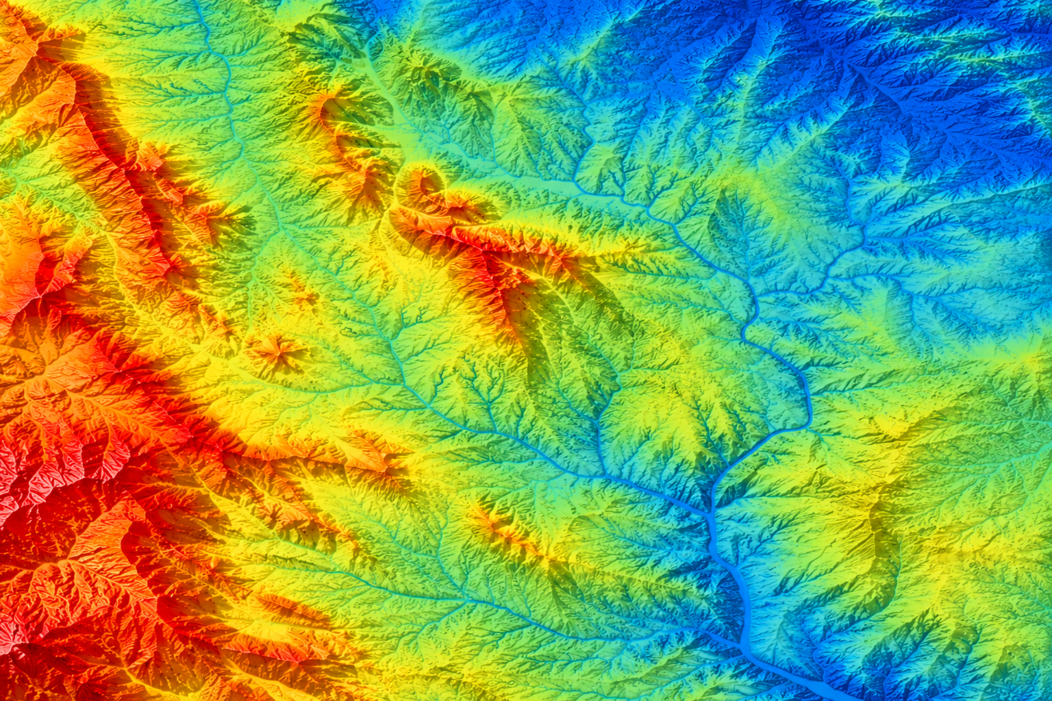
High-resolution terrain information is essential for studying water movement, agriculture, forests, hazards, and ecosystems, but producing it across large geographic regions is computationally expensive. GEOtiled divides massive Digital Elevation Models into manageable tiles and processes them in parallel, enabling researchers to generate, store, visualize, and reuse detailed terrain parameters at regional and continental scales while preserving scientific accuracy.
The Scientific Challenge
Terrain parameters such as elevation, slope, aspect, hillshading, wetness, and drainage describe how the land surface influences water, sunlight, erosion, and ecological processes. Generating these products at high resolution requires processing enormous elevation datasets and can exceed the capacity of conventional desktop tools. The computational expense often prevents researchers from producing consistent terrain information across large regions.
How NSDF Helps
NSDF supports an end-to-end GEOtiled workflow that collects elevation data, generates terrain parameters through tiled parallel processing, converts outputs into analysis-ready multiresolution formats, and stores them in public or private repositories. Interactive dashboards let researchers explore large maps progressively, select regions of interest, and retrieve only the data needed for analysis instead of downloading entire datasets.
Scientific Impact
GEOtiled makes high-resolution terrain products practical at continental scale. Researchers can access consistent elevation, slope, aspect, hillshading, and other derived parameters for the contiguous United States at 10-meter and 30-meter resolution, supporting reusable analyses in hydrology, agriculture, forestry, environmental monitoring, and Earth-system modeling.
Key Outcomes
- Continental-Scale Production — Generates high-resolution terrain parameters across very large geographic regions.
- Parallel Tile Processing — Divides elevation data into tiles to accelerate computation while preserving accuracy.
- Progressive Data Access — Lets researchers visualize broad regions first and retrieve detailed subregions only when required.
- Reusable Earth Data — Produces publicly available 10-meter and 30-meter CONUS datasets containing more than 15 terrain parameters.